
Contact us about this property
Darlington Office
Tel: 01325 728084Darlington Farmers Auction Mart, Humbleton Park, Darlington, DL2 2YH
 Request details
Download brochureView Floorplan
Request details
Download brochureView Floorplan
Park Wall Farm, Tow Law, Bishop Auckland
Property Summary
development, together with an impressive, stone built farmhouse, spanning over 3400 ft².
The property extends to 38.01 hectares (93.94 acres) in total and is located in a peaceful, rural
setting to the south east of Tow Law and north west of Crook in County Durham. The property
benefits from direct access to the main A68 road which connects Darlington to Edinburgh

Property Features
- Opportunity to acquire an attractive agricultural holding in a private, yet easily accessible location.
- Four bedroom farmhouse.
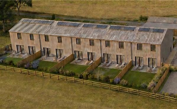
- Planning consent for seven additional residential dwellings.
Full Details
LOCATION
Park Wall Farm is situated in a rural yet accessible location in County Durham. It is approximately two miles to the south east of the small town of Tow Law and three miles to the north west of the larger town of Crook. The city of Durham is approximately
12 miles to the north east which provides a wider range of shopping and recreational facilities. There are several primary and secondary schools in the surrounding area. For the commuter, the approximately 1km private farm road directly joins the A68 which provides access to main road networks including the A1(M). Train stations can be found at Bishop Auckland and Durham, which is situated on the east coast mainline. There are international airports at Teesside and Newcastle.
What3words: ///kettles.Spearhead.Rave
ACCESS
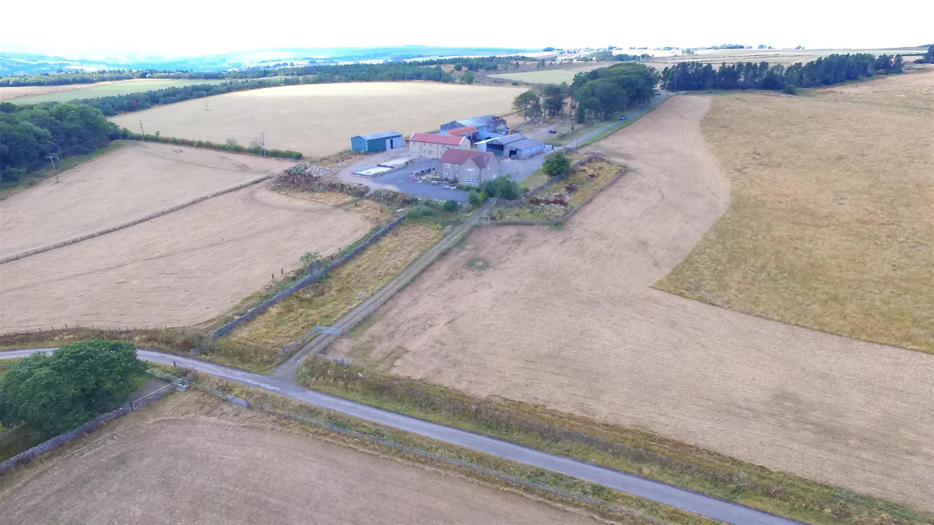
A tarmac and metaled road leads to the farmhouse and steading from a layby off the A68. There is a secondary access to the east of the property along a private tarmac road which adjoins Craig Lea Road. All field parcels are in close proximity and have good access to the main farm steading which is positioned towards the centre of the holding.
DESCRIPTION
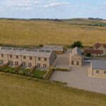
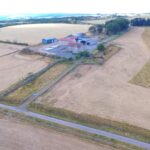
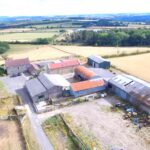
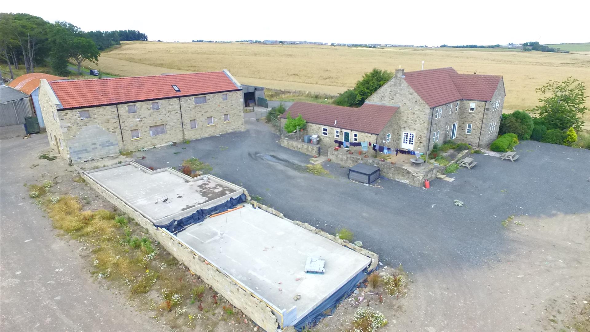
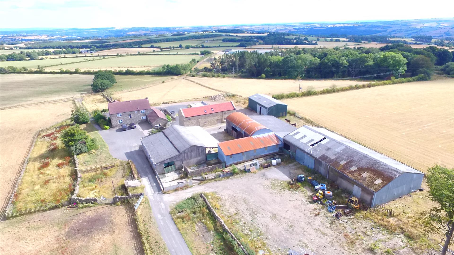
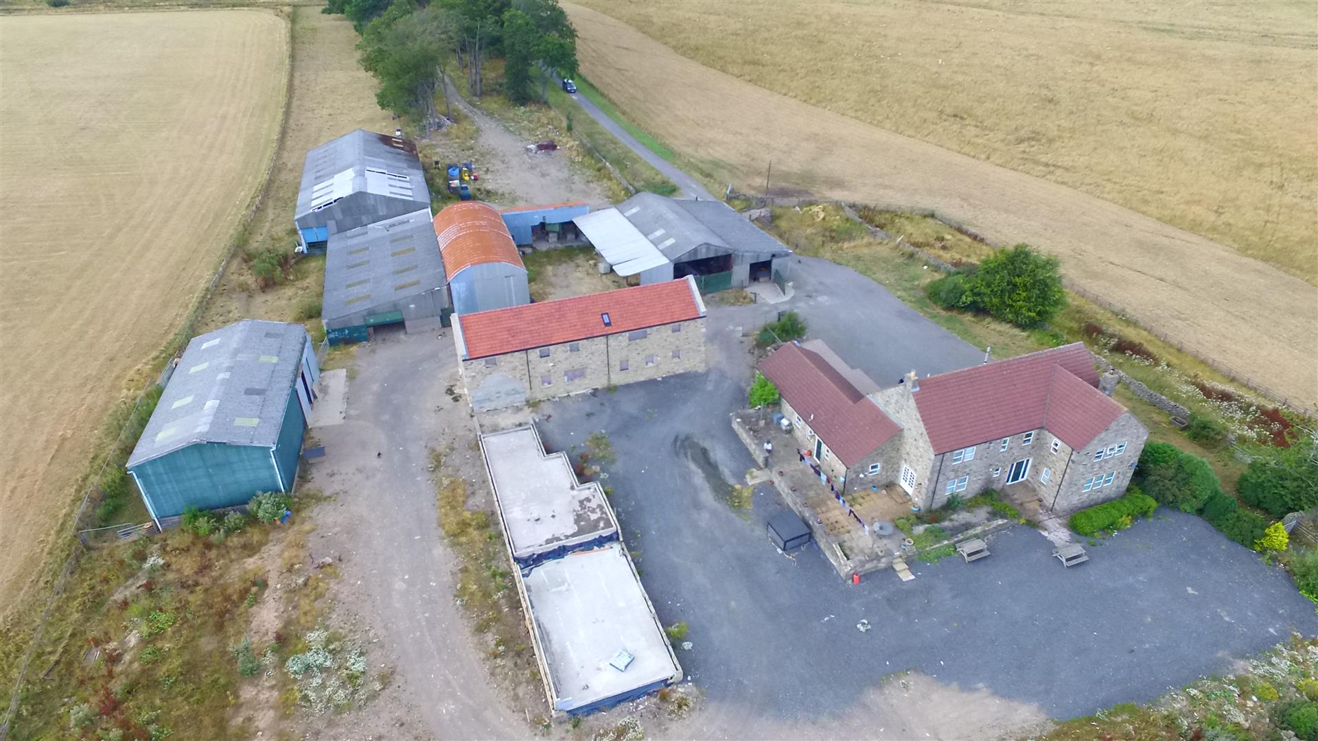
Park Wall Farm is an attractive grassland farm lying within a ring fence extending to 38.01 hectares (93.94 acres) in total. This includes the farm steading and access roads along with 27.09 hectares (66.96 acres) of grass fields and paddocks and 8.37 hectares (20.66 acres) woodland, The farmhouse and buildings are centrally located and the steading provides access to all land parcels from internal access tracks. There are currently ample buildings which are well established for cattle and sheep rearing. There is opportunity to develop these into residential dwellings, through planning consent should this be preferred.
THE FARMHOUSE
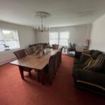
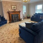
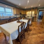
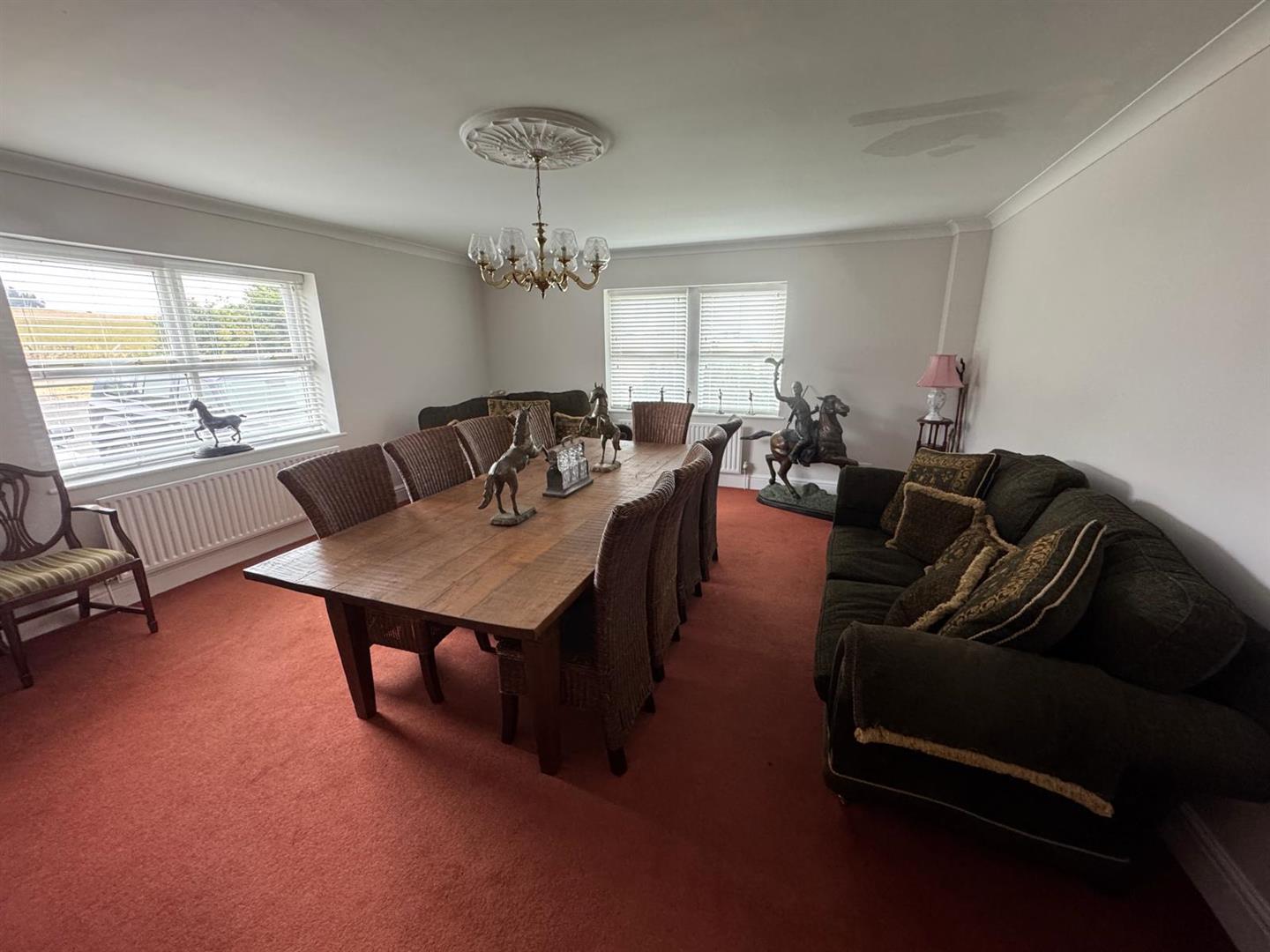
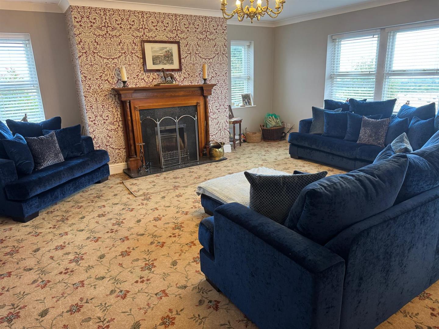
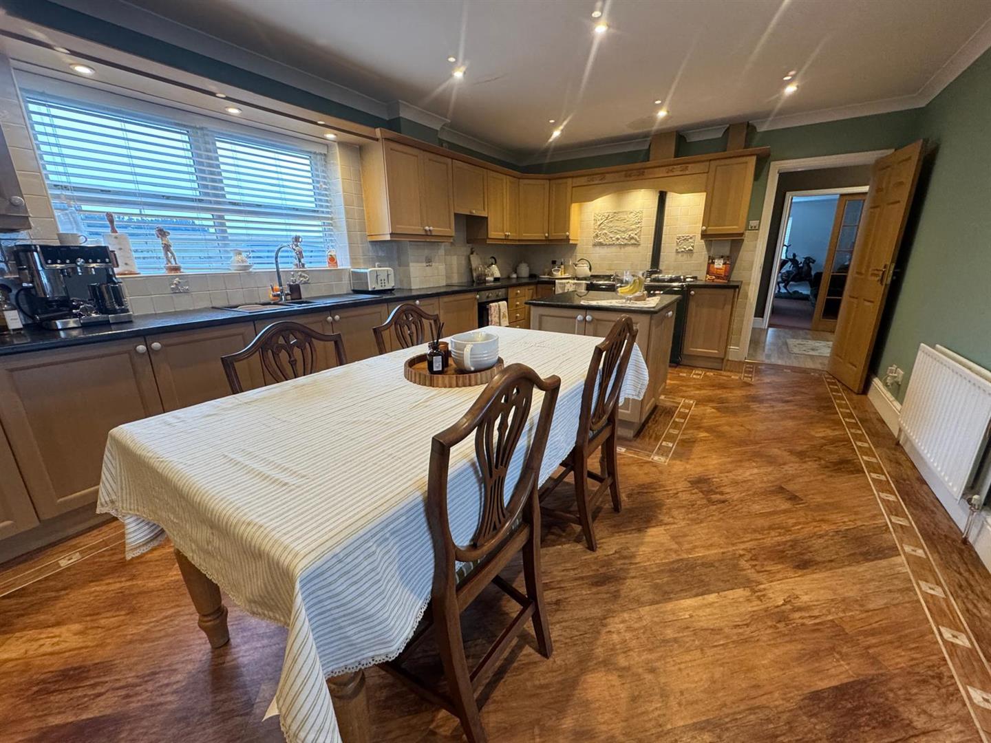
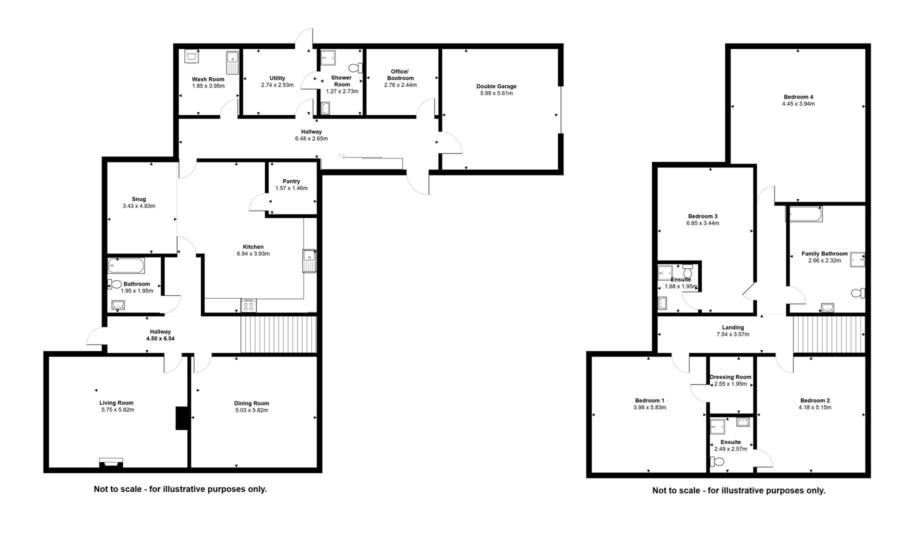
The farmhouse is a very attractive and generously sized four bedroom, two story, stone built farmhouse under red pantile roof. It is very well presented and inviting with the inside finished to very high standard which gives it a modern appearance whilst retaining its cosy, traditional farmhouse feel. Externally, there is ample outside space and providing excellent views to the east. The layout of the accommodation is shown on the floorplan, the ground floor comprises a large kitchen diner with Aga, office, utility room, shower room, wash room, pantry, snug, bathroom, living room and dining room. To the first floor there are four bedrooms, two of which have an ensuite bathroom (and one with a dressing room) along with a family bathroom.
ENERGY PERFORMANCE CERTIFICATE
The property is EPC rating D 65.SERVICES
The property is served by mains electricity, mains water, septic tank drainage with central heating provided by an oil boiler which is located in the wash room.
COUNCIL TAX BAND
Park Wall Farm—Durham County Council Tax Band E.
THE BUILDINGS AND PLANNING CONSENT
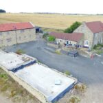
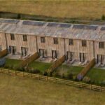
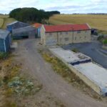
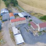
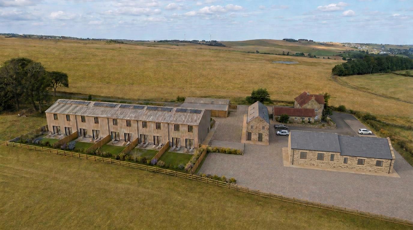
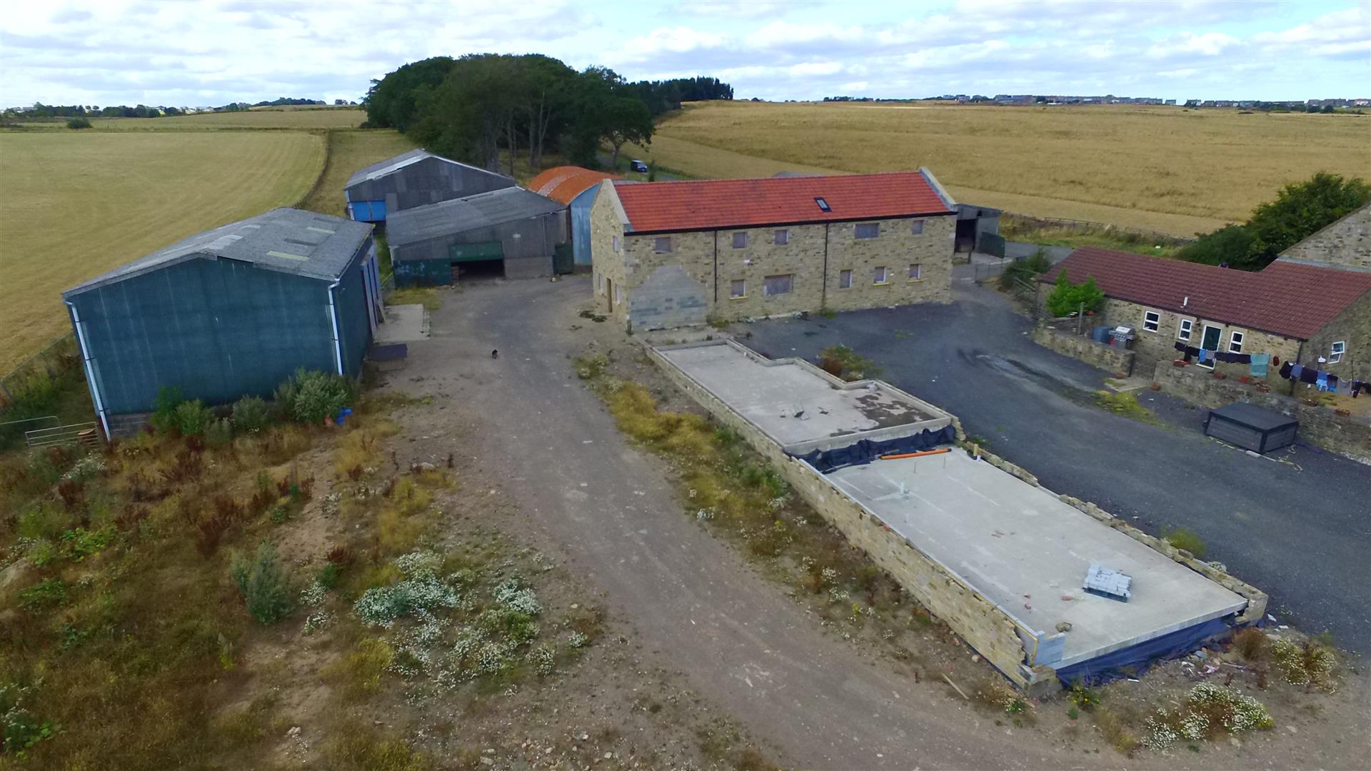
To the north east of the farmhouse is a range of predominantly steel framed, general purpose agricultural buildings extending to a total of approximately 1,540.95m2 which are currently used as storage for general agricultural equipment; however, prior approval has been granted for the conversion of some of these buildings into seven residential dwellings under planning reference DM/25/00766/ PN56. Subject to a S106 agreement, units 1 and 2 under DM/25/00766/PN56 are to be sacrificed in favour of two further proposed residential units under DM/24/00217/FPA. These two dwellings are already under construction, with unit 2 up to first fix stage and the foundations completed for unit 1.
THE LAND
The land includes 27.09 hectares (66.96 acres) of grass fields and paddocks, 8.37 hectares (20.66 acres) woodland, 2.45 hectares (6.06 acres) of access tracks and farm steading and a pond extending to 0.10 hectares (0.26 acres) all within a ring fence around the steading. The agricultural land is of gently sloping topography and is in generally good heart The woodland is predominantly well matured and ready for felling, subject to obtaining the necessary felling licences.
The boundaries are stock proof and comprise post and rail fencing, post and wire fencing, hedges and dry stone walls which are generally well maintained and in good order. The majority of the land parcels are served by mains and spring water. In accordance with the provisional land classification, the land is classified as Grade 4 and 34.25 hectares (86.44 acres) of the soils are described as ‘Restored soils mostly from quarry and opencast spoil’ with the remaining 3.96 hectares (9.28 acres) of land classed as ‘Seasonally wet pastures and woodlands’.
ENVIRONMENTAL / COUNTRYSIDE STEWARDSHIP
The land is registered with the Rural Payments Agency and the de linked Basic Payment has been claimed.
The land is subject to an SFI agreements which cannot be transferred to the purchaser. Further details of the options included in the agreements can be provided by the selling agent, if required.
PUBLIC RIGHTS OF WAY
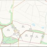
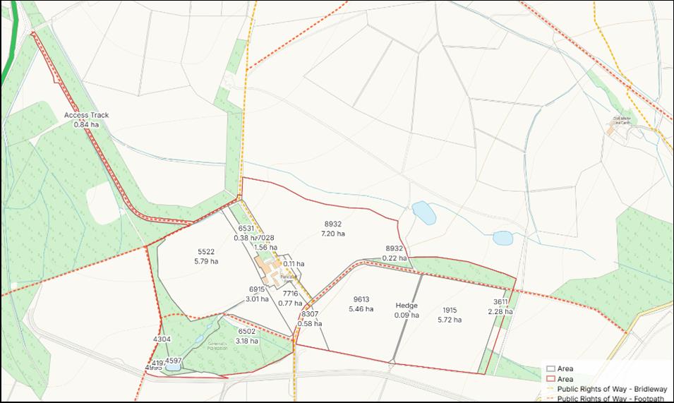
The property is subject to public footpaths and bridleways. The current routes are identified on the Sale Plan. Further details can be obtained from the selling agent.
THIRD PARTY RIGHTS OF WAY
There are not believed to be any third party rights of way across the property.
DESIGNATIONS
The majority of the property is classed as Land with Severely Disadvantaged Area on the Less Favoured Areas (LFA) and Moorland Lines Map. It is not believed to be
subject to any other specific designations.
SPORTING / MINERAL / FISHING RIGHTS
The Sporting rights are assumed to be in hand.
WAYLEAVES / EASEMENTS
There is a wayleave in place for the electricity lines which cross the property. The property is sold subject to and with the benefit of all rights including rights of way, whether public or private, light, support, drainage, water and electricity supplies and other rights and obligations, easements and quasi-easements and restrictive covenants and all existing and proposed wayleaves for masts, pylons, stays, cables, drains, water and gas and other pipes whether referred to in these particulars or not.
MATERIAL INFORMATION
It is understood that the property has access to a good broadband connection and has good mobile phone signal in this area. We would advise prospective purchasers to perform their own due diligence in respect of availability. With reference to data from the Environment Agency’s Flood Warning Information Service there is a low risk of flooding from surface water, rivers and sea adjacent to the ditches around the farm.
COSTS
Each party is to bear their own costs.
MONEY LAUNDERING
Prospective buyers should be aware that in the event that they are successful they will be required to provide documents in relation to the current Money Laundering and Terrorist Financing Regulations. The extent of the required documentation will be confirmed to the purchaser(s) after acceptance of an offer.
TENURE
We are informed by the current vendors that the property is held freehold.
METHOD OF SALE
The property is offered for sale as a whole by private treaty but the vendor would also consider selling in separate lots.
VIEWINGS
Please contact Vickers & Barrass Tow Law office on 01388 730095 to arrange a viewing, which are strictly by appointment only.
LOCAL AUTHORITY
Durham County Council
HEALTH & SAFETY
The farm is an active and working farm and those viewing are requested to be mindful of farming operations.
PARTICULAR NOTES
Particulars prepared – August 2026
Photographs taken – July/ August 2026
The particulars are set out as a general outline for the guidance of intending purchasers or lessees and do not constitute, all or part of an offer or contract; all descriptions, dimensions, areas, references to condition and necessary consents for use and occupation and other details are given as a guide only and without responsibility. Any intending purchasers or lessees should not rely on them as statements or representations of fact but must satisfy themselves, by inspection or otherwise, as to their accuracy. No employee of Vickers & Barrass, Chartered Surveyors has the authority to make or give any representation or warranty whatever in relation to this property nor is any such representation or warranty given by the Vendors or the Lessors of this property. Any offer for this property will be taken as an admission by the intending purchaser that they have relied solely upon their own personally verified information, inspection, and enquiries. The photographs show only certain
parts of the property. It should not be assumed that the property remains as displayed in the photographs. Where any reference is made to planning permissions or potential uses, such information is given by Vickers & Barrass, Chartered Surveyors in good faith. Prospective purchasers should make their own enquiries with the Local Planning authority into such matters. The Vendors reserve the right to sell parts of the property in lots at any time and to generally amend the particulars or method of sale. The property is sold subject to reserve(s).Vickers & Barrass, Chartered Surveyors reserve the right to sell privately without imposing a closing date and do not bind themselves to accept the highest or any offer. The particulars have been prepared in accordance with the Business Protection from Misleading Marketing Regulations to give a fair overall view of the property.
Field No. Hectares Acres Land Type
NZ1337 7028 (steading) 1.06 2.61 Steading and access road
NZ1337 7028 0.51 1.25 Woodland
NZ1337 5522 5.79 14.31 Grassland
NZ1337 6531 0.38 0.95 Grassland
NZ1337 6915 0.99 2.45 Grassland
NZ1337 6915 2.02 4.98 Woodland
NZ1337 4304 0.27 0.68 Woodland
NZ1336 4197 0.18 0.45 Woodland
NZ1336 4995 0.26 0.64 Woodland
NZ1336 4597 0.10 0.26 Pond
NZ1337 6502 3.18 7.87 Woodland
NZ1337 7716 0.77 1.89 Grassland
NZ1337 8932 7.20 17.81 Grassland
NZ1337 8307 0.58 1.44 Grassland
NZ1337 9613 5.46 13.49 Grassland
Hedge 0.09 0.22 Hedge
NZ1437 1915 5.72 14.13 Grassland
NZ1337 8932 0.22 0.54 Woodland
NZ1437 3611 0.55 1.37 Access track
NZ1437 3611 1.73 4.25 Woodland
Access Track 0.84 2.08 Access Track
Grass East of Steading 0.11 0.27 Grassland
TOTAL 38.01 93.94